 Sideris
Plate solving, offline, on your phone
Sideris is an intuitive plate solver for astrophotographers with simple gear:
a camera, a lens or a telescope, and a star tracker without go-to functionality.
Download it on:


Sideris plate-solves in seconds
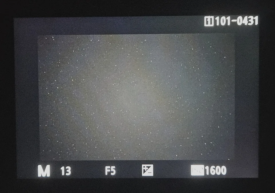
You aim at a galaxy or a nebula and take a test shot, but the camera's screen only shows stars. Where is your target? To the left, maybe? And how far?
Take a photo of the screen with your phone (or tablet), and Sideris tells you exactly where your camera is pointing. Your shot appears on the interactive sky map, next to the target you are aiming for, so you know which way to move.
No go-to mount, no laptop with complex software and no internet connection needed at your dark site.
How it works
- Take a test shot with your camera.
- Photograph the camera's screen with your phone.
- Crop it, and Sideris solves it in seconds, right on your device.
- See your photo on the sky map, and how far you are from your target.
The first time, a guided tutorial walks you through two solves on real example photos.
Inside the app
Night mode turns on at sunset to protect your night vision, with a Deep Red option for the darkest sites. The switch under each screen allows you to compare them.
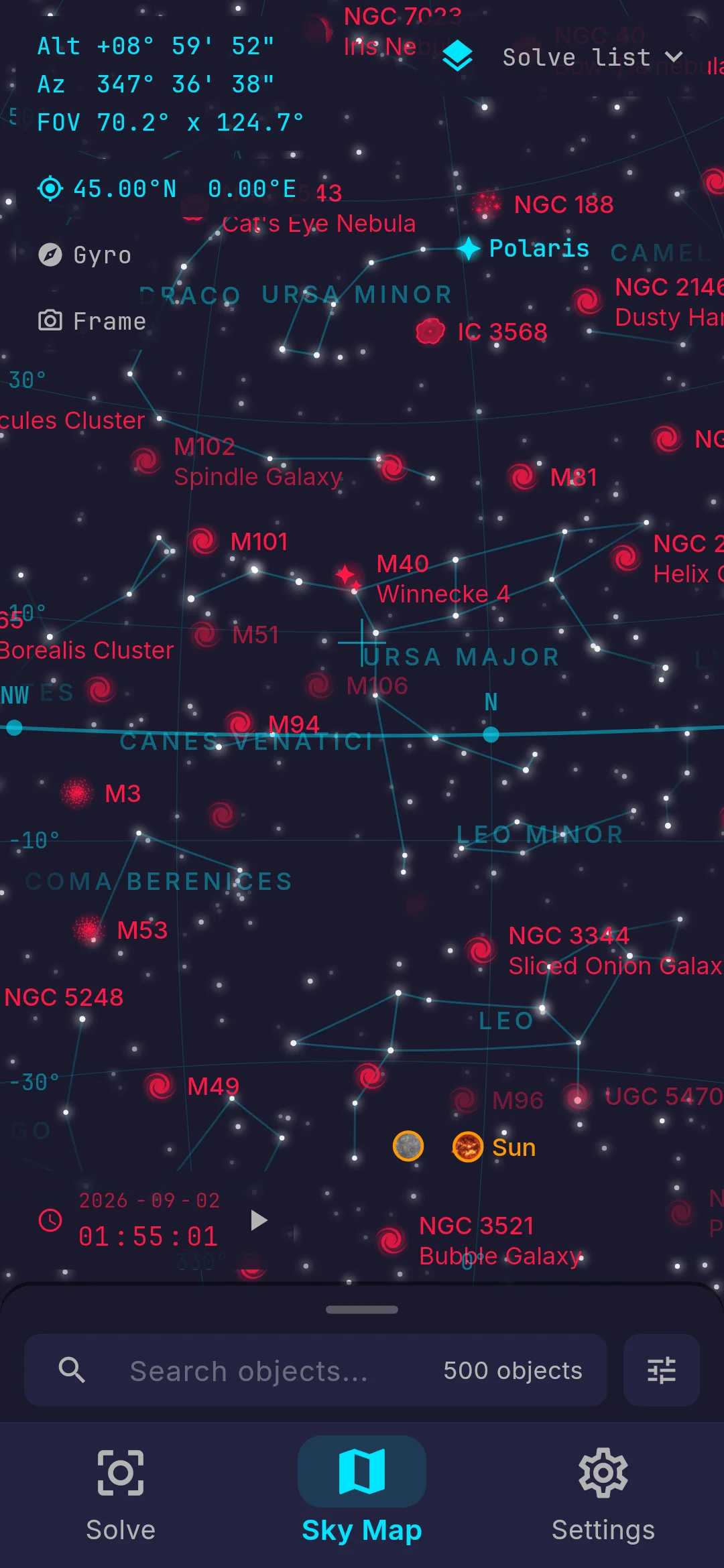
An interactive sky map
- 364,000 stars, the planets, the Sun and the Moon.
- A gyro mode where you point your phone at the sky and the map follows. Select an object, and arrows guide you to it.
- Customization options, with constellation lines, an equatorial or azimuthal grid, three color themes, etc.
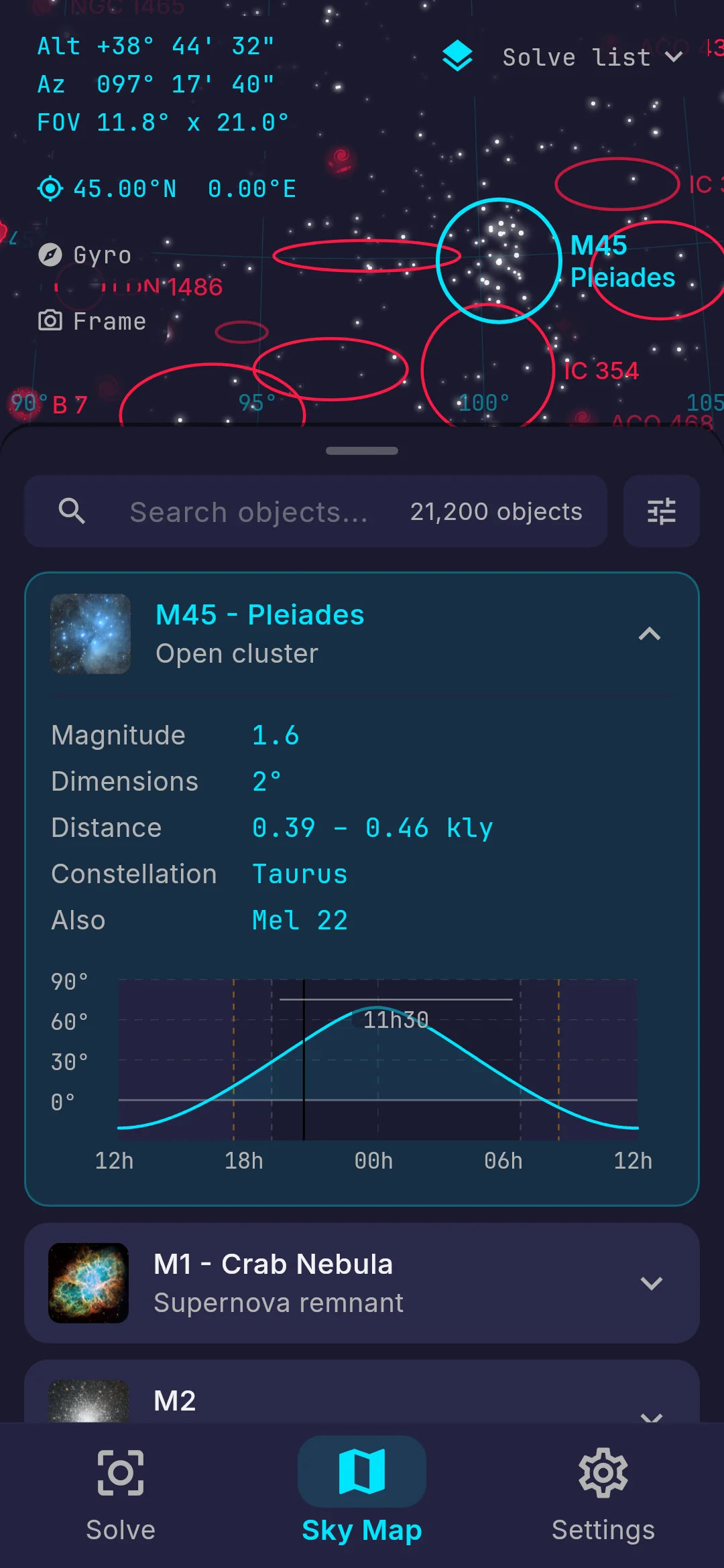
More than 21,000 deep-sky objects
The best catalogs for astrophotography (Messier, Caldwell, Herschel 400, NGC, IC, etc.) with various object types (galaxies, emission nebulae, planetary nebulae, supernova remnants, star clusters, galaxy groups, etc.).
- Choose between a curated list of the 500 best-known targets, the 2,500 within reach of a camera lens, or all 21,200 of them.
- Search any object by name or number, filter by type, catalog, magnitude, size or altitude, and sort the list by what matters tonight.
- Every object has an altitude curve for the night, and the 110 Messier objects have NASA and ESA photographs.
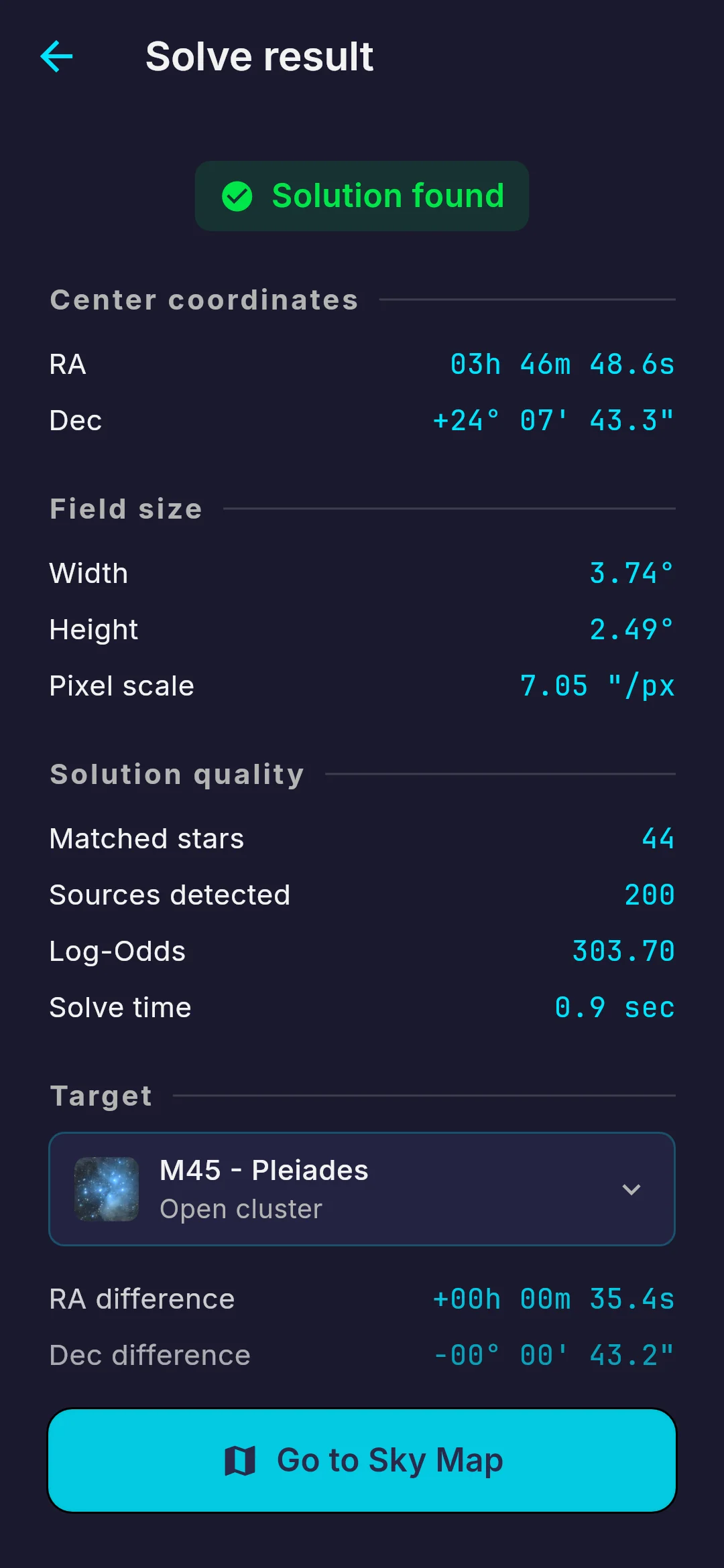
Plate solving, fully offline
Solving runs on your phone, so it works where there is no signal. Thanks to careful optimization, most photos solve with nothing but the picture, even on a phone. If one struggles, you can add your sensor size, focal length or target to help the solver.
- From about 30 mm to 1,200 mm on a full-frame camera, which covers most lenses and telescopes.
- Usually solves in about a second, matching the stars in your photo against the 364,000 stored in the catalog.
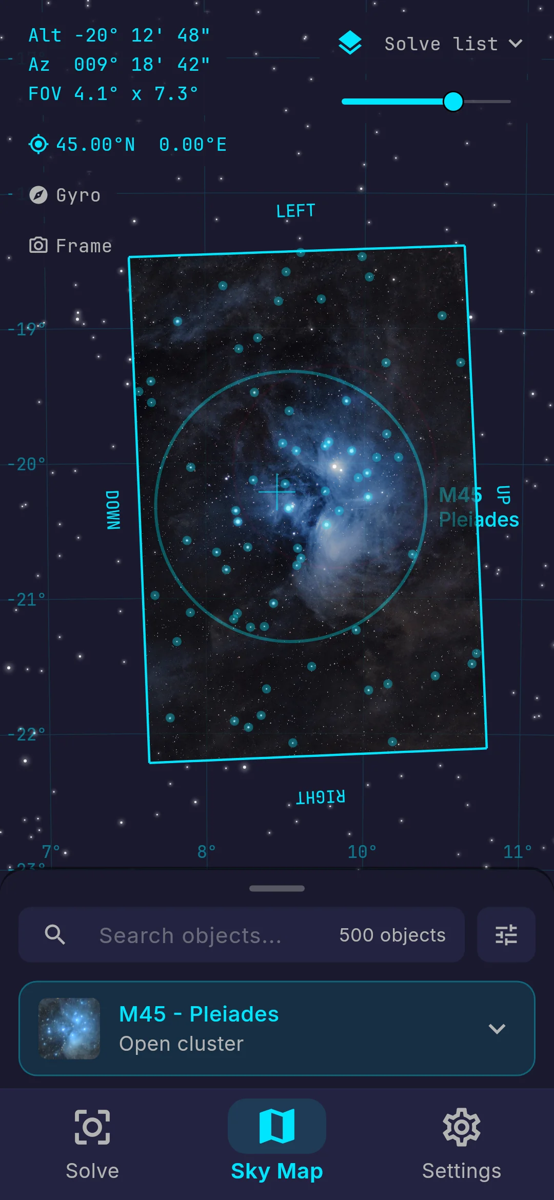
Your photo on the sky map
The solved photo is drawn on the sky map exactly where it belongs, at the right size and angle, among the stars and deep-sky objects around it. You see at once how far you are from your target, and which way to move if it is still outside your frame.
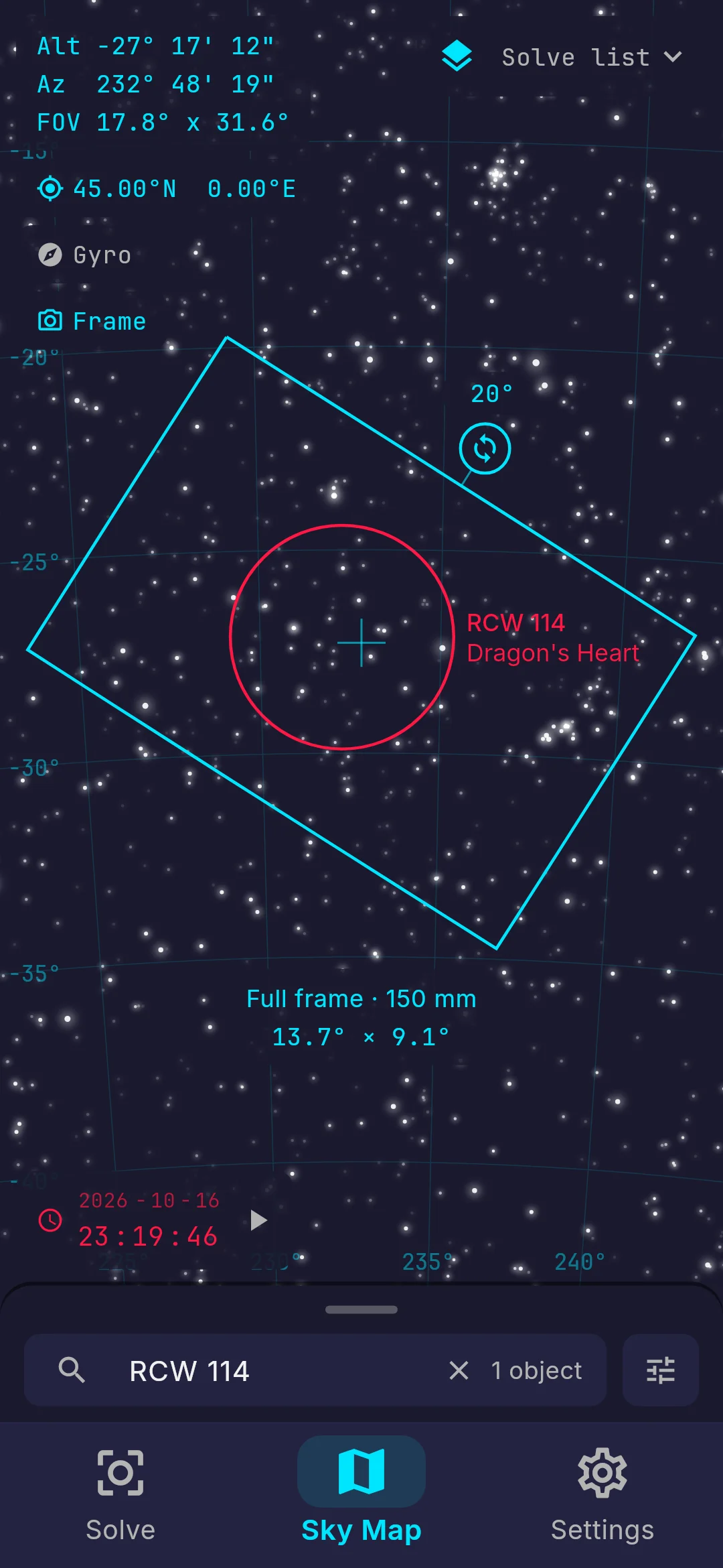
Frame your shot
Add your cameras and your lenses or telescopes, and the framing tool shows your exact field of view on the sky map. Turn the frame to match your camera and plan the composition before you shoot.
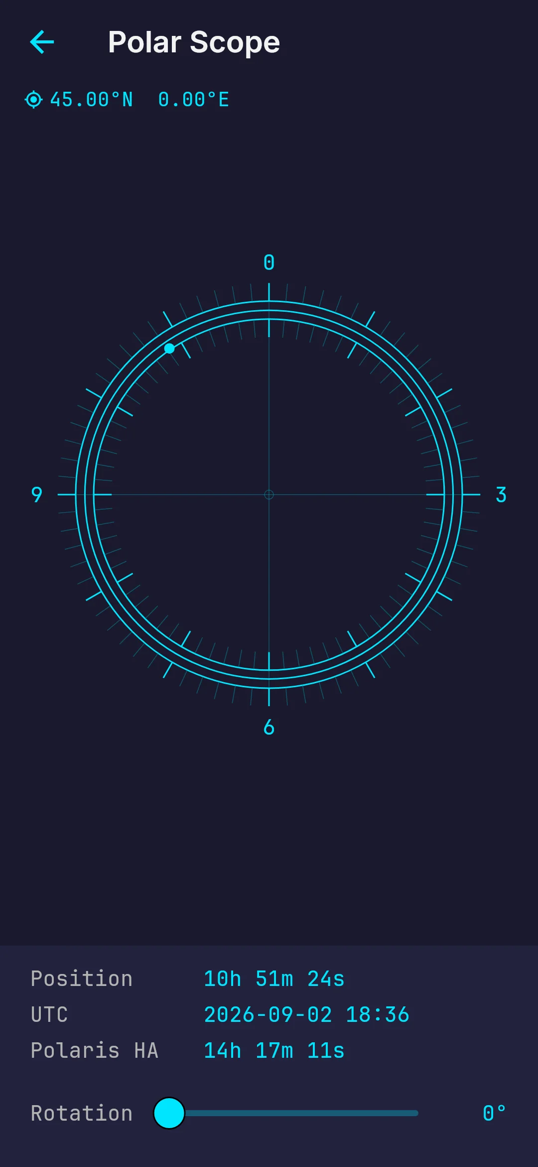
A polar scope for your star tracker
The reticle shows where Polaris should sit in your polar scope, computed live from your location and the time. Turn it with the slider or with two fingers to match the view through your eyepiece, and line up your star tracker.
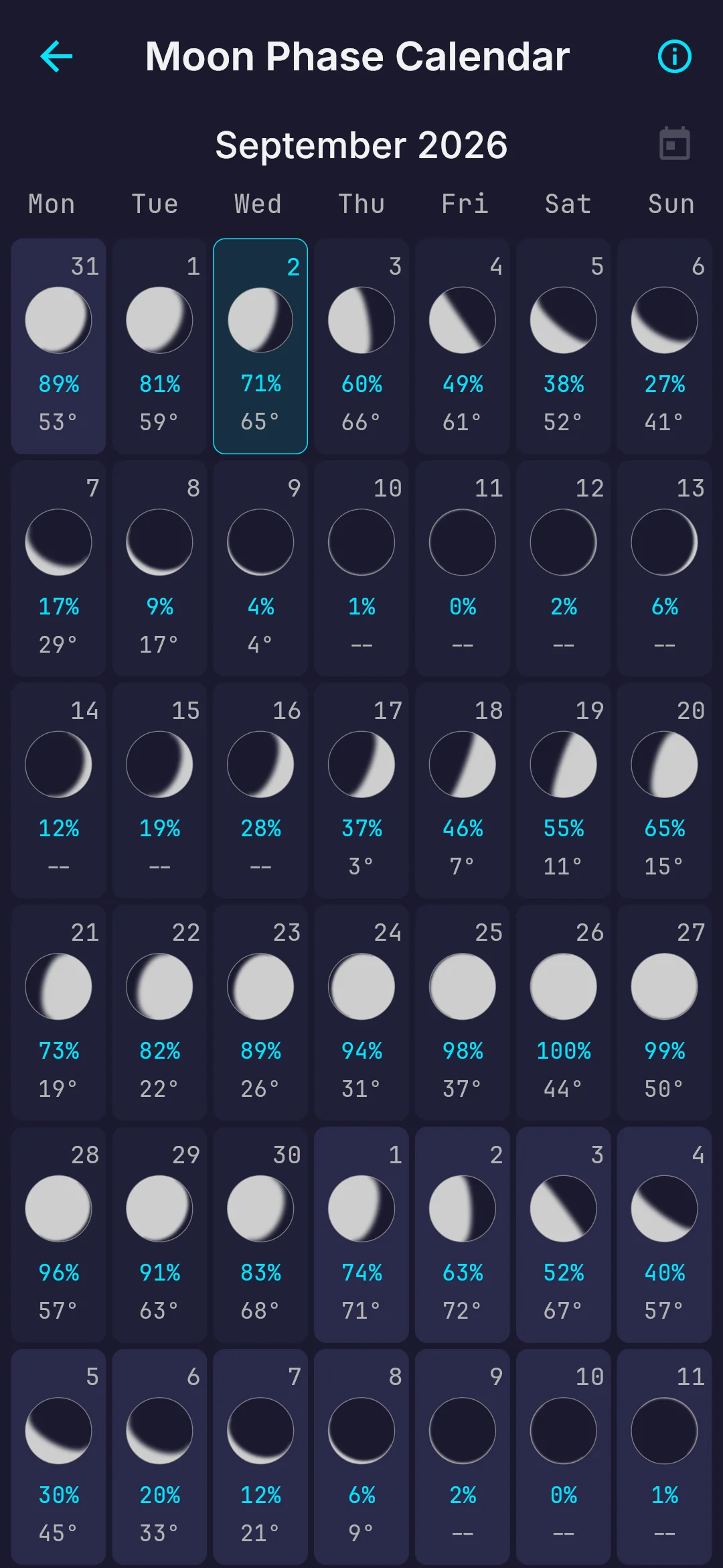
A moon phase calendar
A whole month at a glance, as seen from your location. Each night shows the phase of the Moon, how much of it is lit, its altitude through the night and the moonrise and moonset times, so you can choose the darkest nights for your faintest targets.
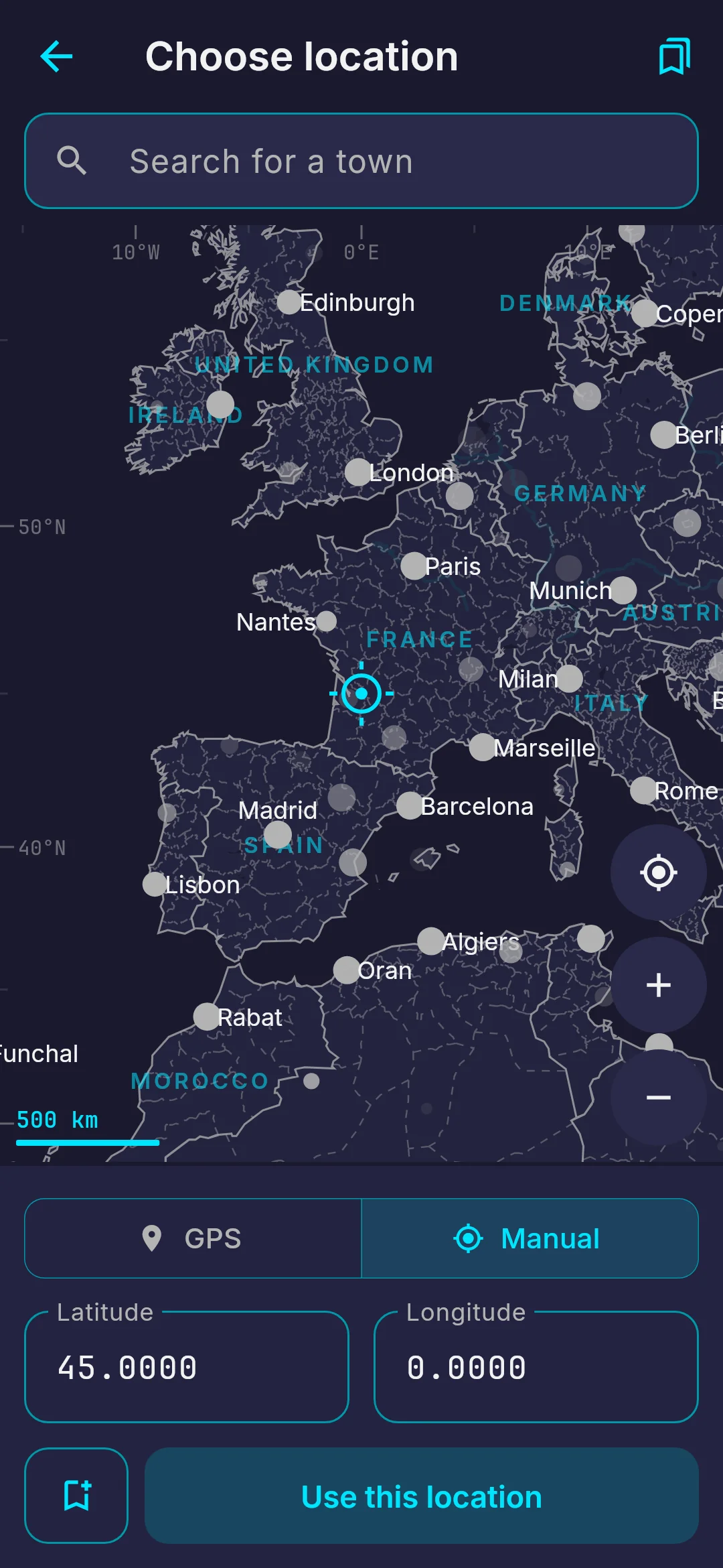
Your location, even offline
Sideris follows your GPS, or you can set your location yourself on a lightweight world map stored offline in the app: tap the map, type the coordinates or search among 235,000 towns and villages. Save the sites you observe from, and switch between them in a tap.
The tools also include a dimmable white screen to help you take your flat frames.
One purchase, no subscription
Your first 10 solves are free. After that, a single one-time purchase unlocks unlimited plate solving on all your devices. No subscription, no ads, no account. Available on Android and iOS.
I built Sideris for my own nights under the stars, after spending too many hours trying to find my targets. I hope it can help you take beautiful photos as well.
Clear skies!